

Finute Maps turns the plans and data you already hold into an interactive 3D map that runs in a browser. Outdoors and indoors, floor by floor, with live information layered on top.
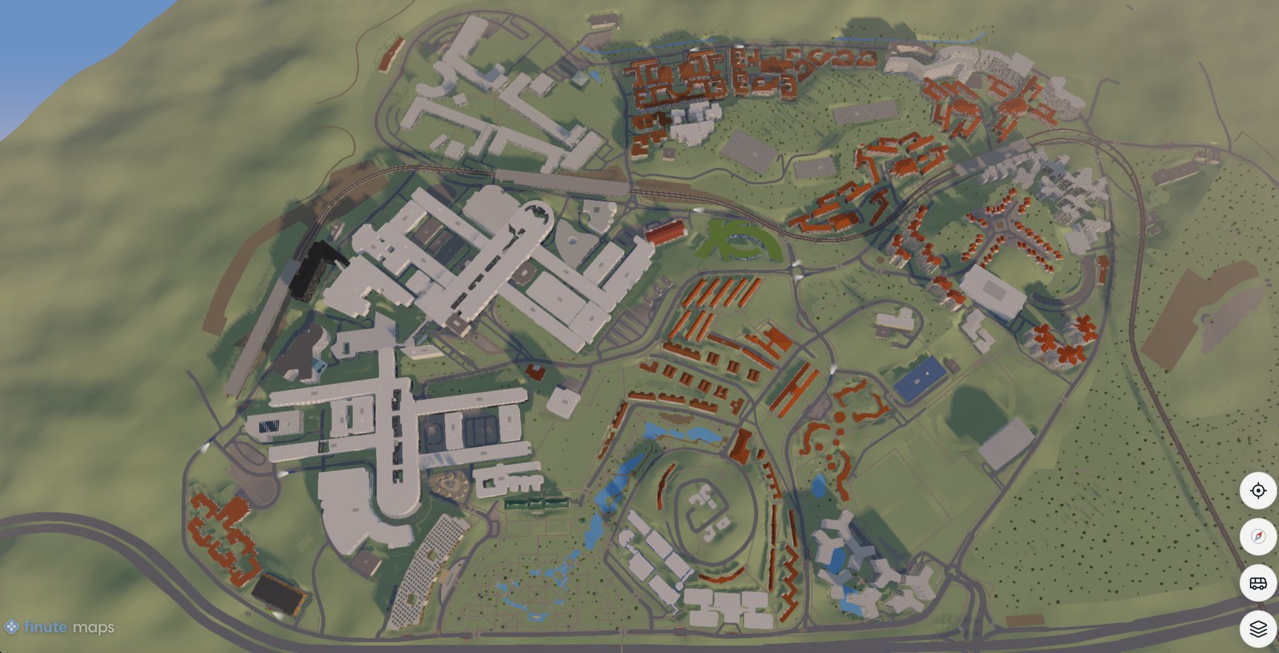
Most organisations already hold everything a good map needs. It is just spread across floor plans, asset registers, timetables and PDFs, in formats nobody outside the facilities team can read.
Site plans, floor plans, room registers, asset lists, transport schedules. Open datasets fill whatever is missing. Nothing needs to be surveyed again.
Our proprietary workflows read that data and generate the geometry: massed buildings, floor plates, walkable surfaces, and the connections between them. What normally takes a modelling studio months takes us days.
The result is a browser application, not a picture. It searches, routes, switches floors and updates from your systems as they change.
Most maps stop at the front door. Ours routes to the room, stepping through each leg with distance and direction, across levels and between buildings.
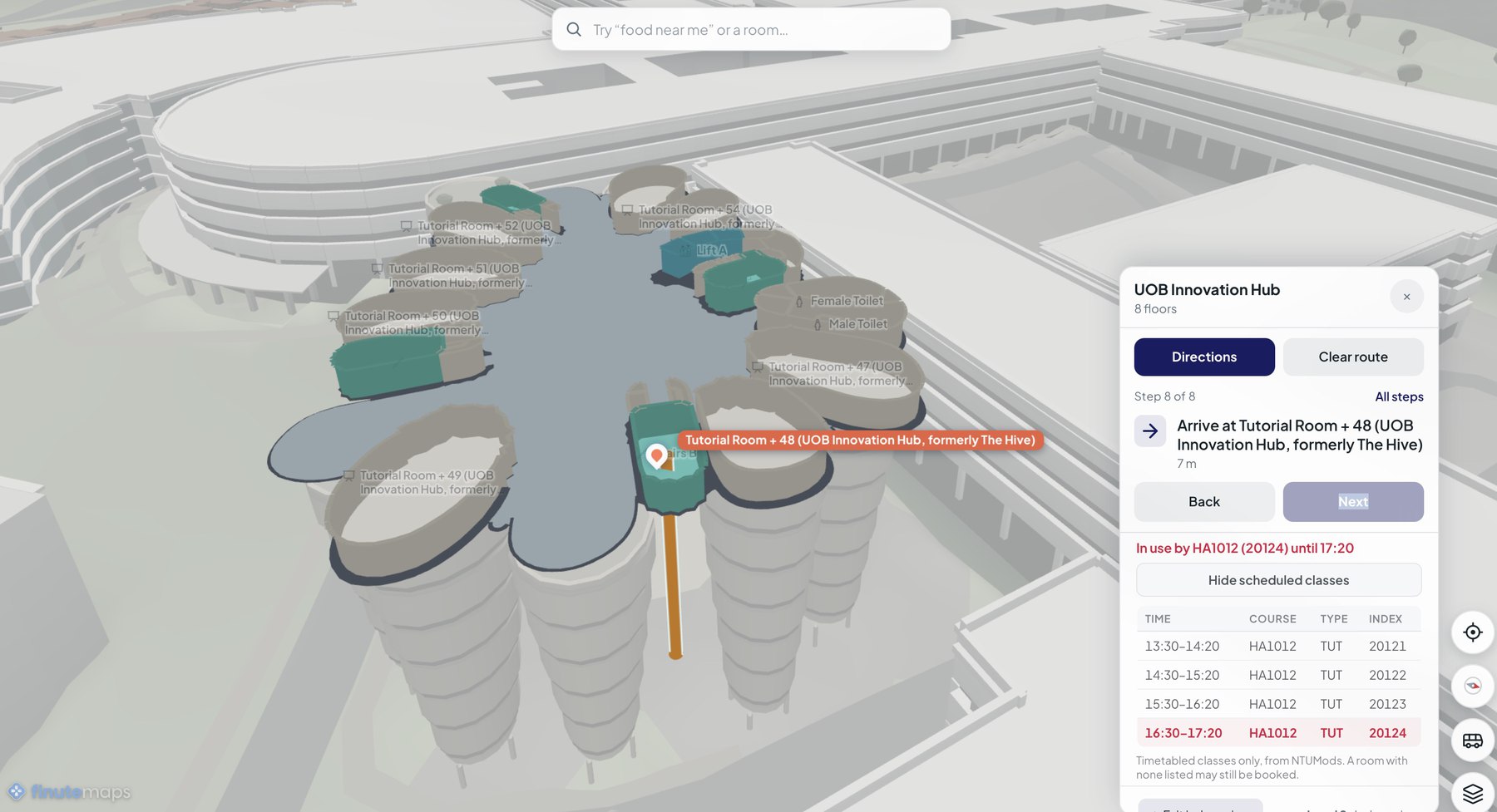
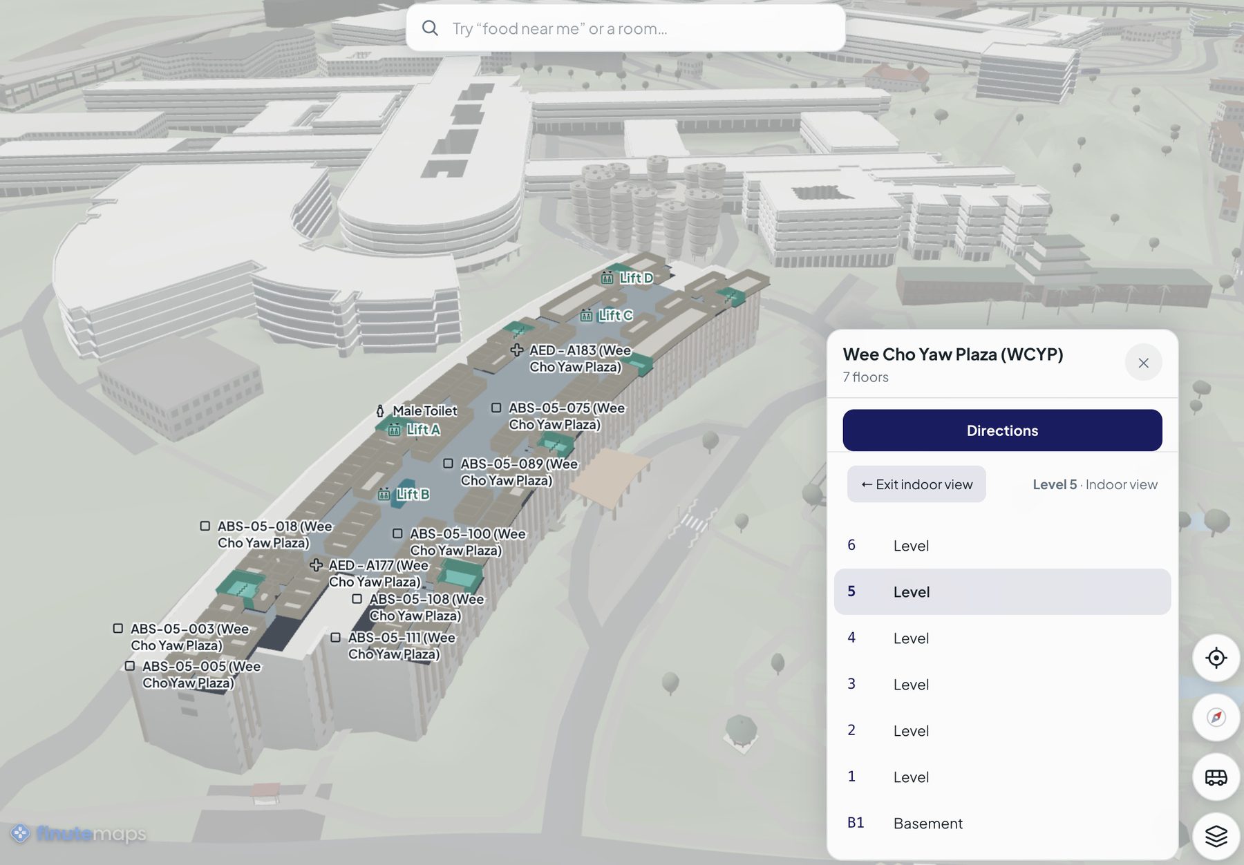
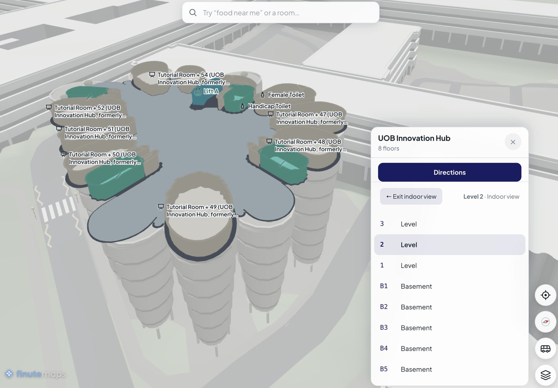
Buildings are modelled through their full vertical extent. Switch to any level and the plan redraws with its rooms, facilities and circulation, with the shell of the building kept for context.
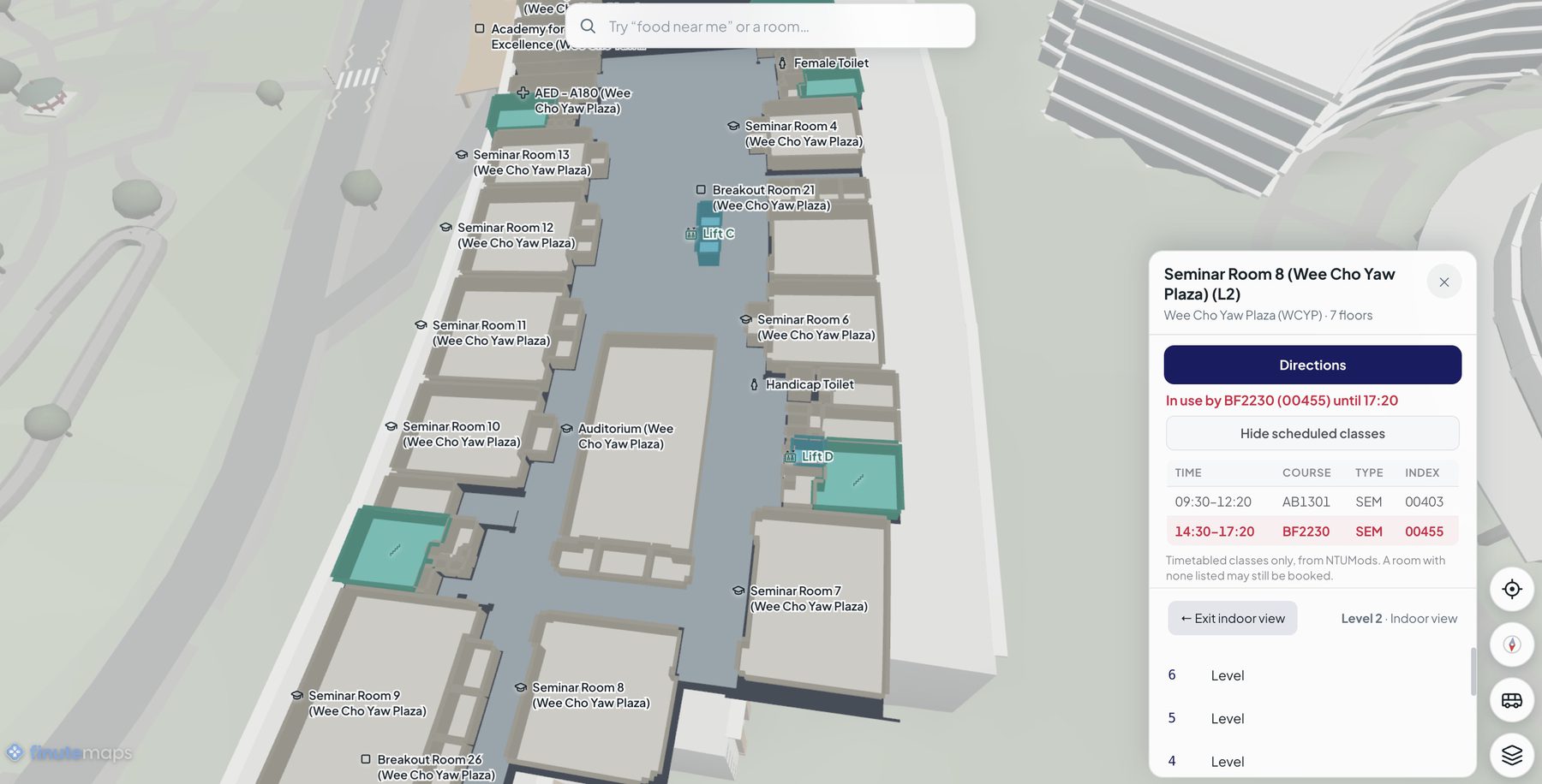
A map that only shows walls is a floor plan. Connect your scheduling, booking or sensor systems and each space starts reporting what is happening inside it, right now.
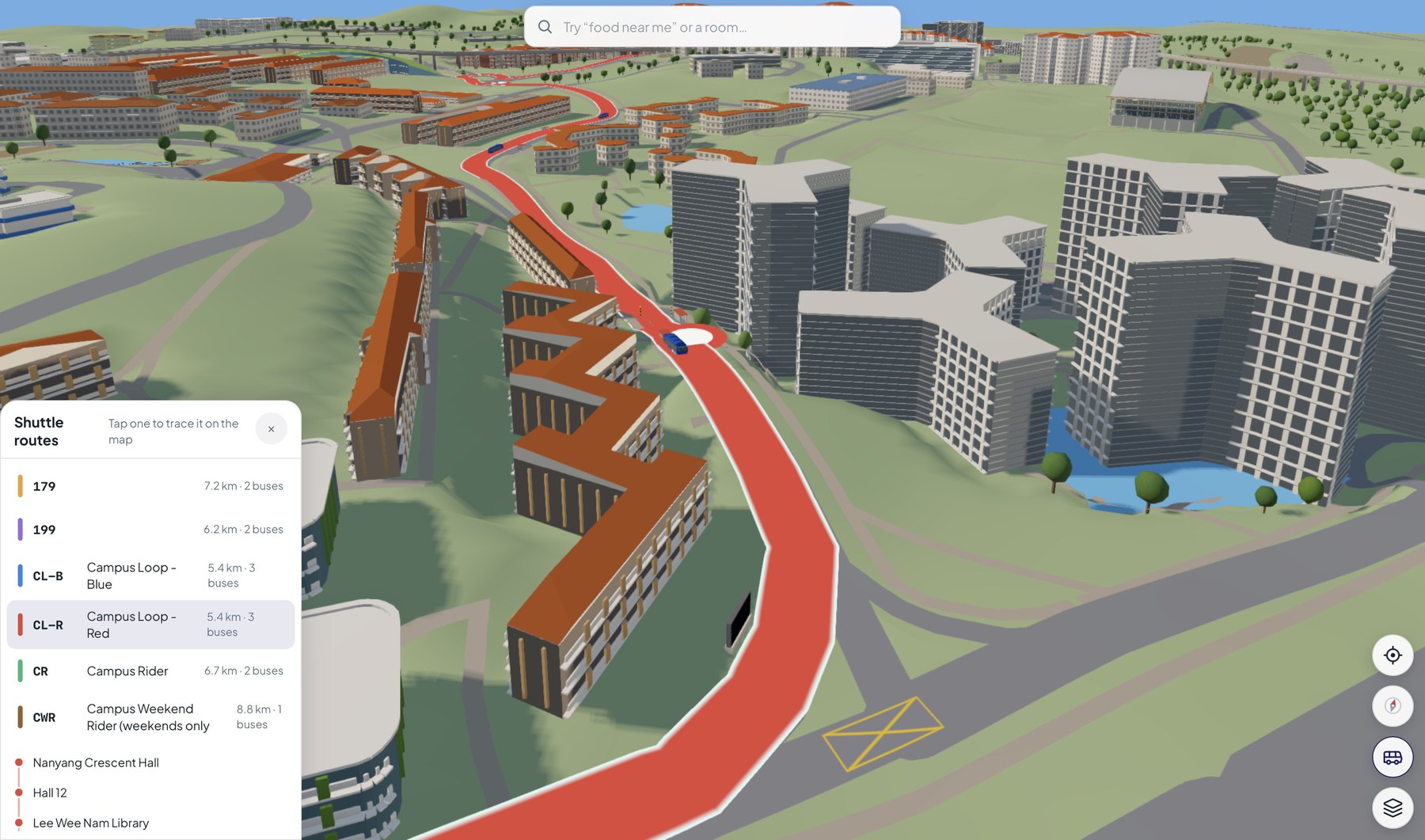
Shuttle and service routes follow their true geometry rather than a straight line between stops, with vehicles shown along them and every stop in sequence.
Ask for a room code, a facility or "food near me". Results resolve to a point inside a building, not a pin on a roof.
Basements through upper floors, each with its own plan. The view redraws as you move between them.
Lifts, ramps and accessible facilities are first-class map objects, so a route can avoid stairs entirely.
Scheduled and live vehicle positions on their real road geometry, with headways and route length.
Defibrillators, toilets, printers, study space. Any point set you already hold becomes a filterable layer.
It runs in the browser, with no install and no app store. It opens from a link on a phone, a laptop or a wall-mounted kiosk, and can be saved to a home screen like an app.
The geometry comes from real survey and design data, not a rough approximation, so a building in the map reads as the same building on the ground.
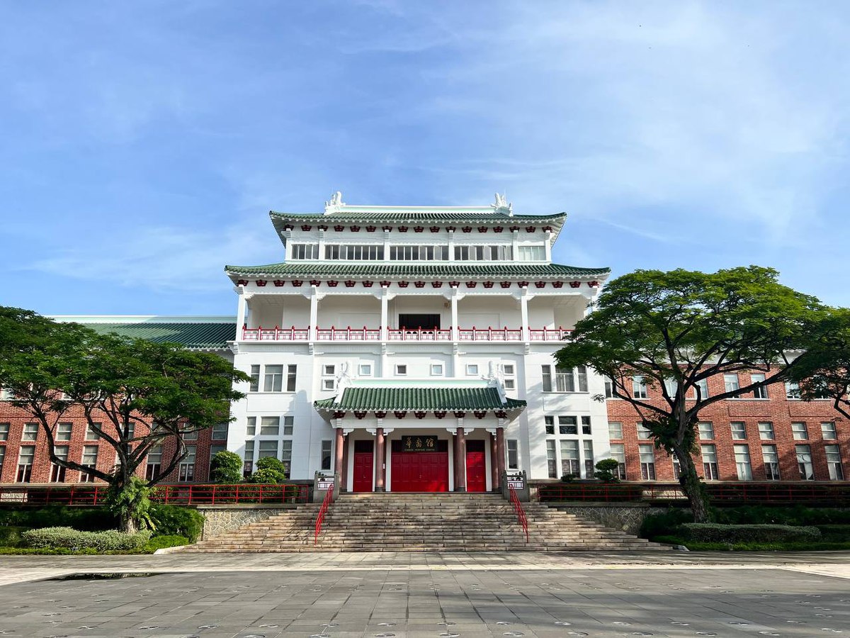
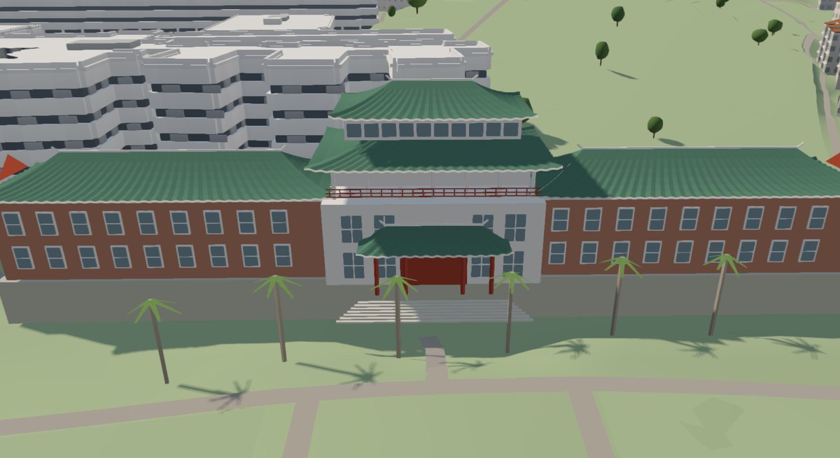
A heritage building, modelled down to its roofline, colour and proportions.
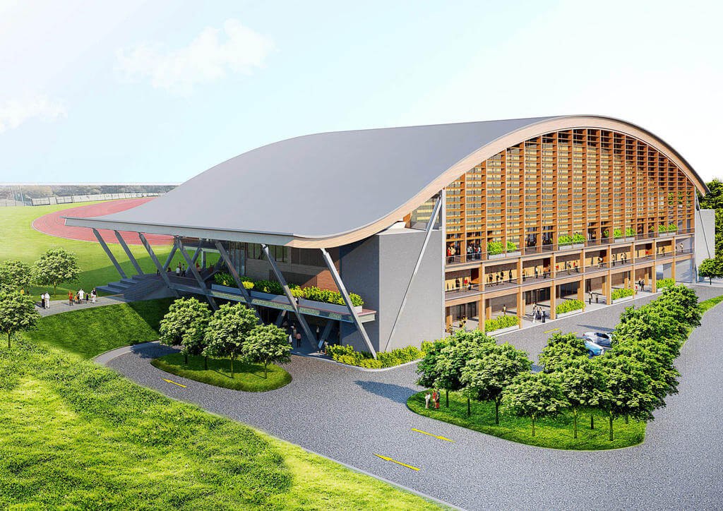
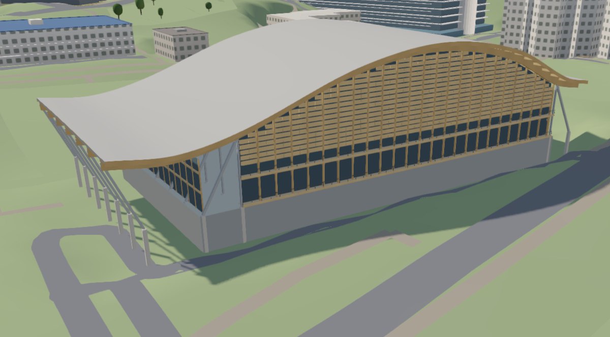
A sports hall's curved roof, carried through to the model at the same angle and span.
The harder a place is to navigate, the more an interactive 3D map earns its keep. Campuses, hospitals, airports and large venues all run into the same problem: visitors asking for directions, and staff answering the same question every week. Indoor navigation solves it once, for everyone.
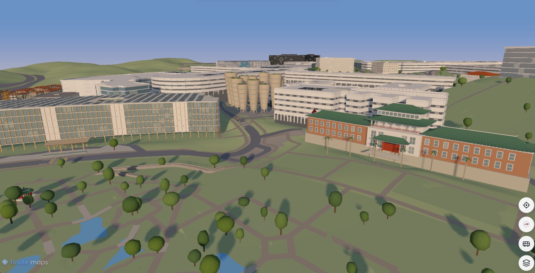
Interiors carry the same fidelity as the exterior. Individual teaching spaces, meeting rooms and facilities are modelled and labelled, so a search returns a place rather than a coordinate.
Send us what you already have, whether that is a set of floor plans or a spreadsheet of rooms. We will tell you honestly what can be built from it, and how long it would take.
Talk to us